Utilities for developers and data scientists to perform geospatial calculations on large datasets based on road networks. Built during my work with UNICEF’s MagicBox initiative.
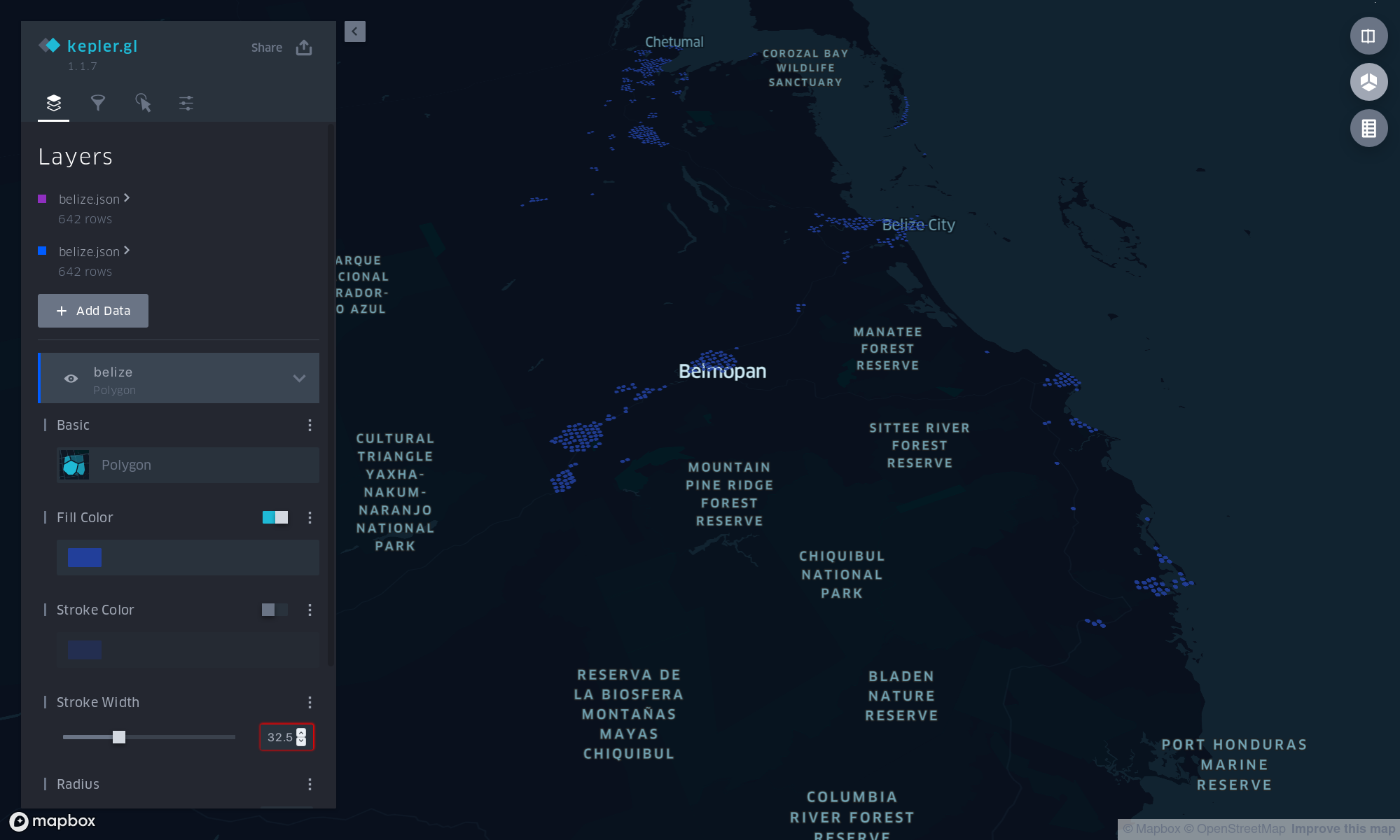
I revived and expanded this work as Tirtha, which keeps the original notebooks and adds satellite foundation models (IBM/ESA’s TerraMind) to estimate per-pixel walkability, then computes how far every populated pixel sits from the nearest clinic, school, water point, or shelter as a fused pixel-and-road graph.